That sounds like an extremely bad Spanish lesson, cuarenta means forty after all. But it’s not a language lesson, this is about culture. More on that later. First we go back to the events following my arrival in La Rioja.
Tuesday 17 October
The first few hours of Tuesday afternoon I spent in my air-conditioned room, updating the blog and taking care of some other online business. I left at 16:00, since I hadn’t eaten since the ice cream before noon. As soon as I walked out I was hit by the oppressive heat, so I quickly walked to a rather fancy bar, where I had an excellent burger and a large beer.
Here the streets are very quiet, while in Catamarca there would still be people around even if shops were closed. There are always many police officers on the city streets, but now they’re just hanging out in the shadows. Even at 21:00 it was still very warm outside. I checked and it looks like the area around Mendoza is a bit cooler than this oven, so just a few more days of extreme heat to go.
Wednesday 18 October
On Wednesday I completed my business in the morning, so I could retire to my airconditioned room after lunch. Only in the evening did I go outside to pick up my laundry and have dinner.
Thursday should be cooler and a fairly easy ride, but Friday is going to be tough. It’s going to be uphill all day and the predicted temperature is 35 degrees. The following days I’m going to see very few villages, but they are spaced almost exactly a day’s ride apart. So I should be able to sleep indoors for the next few days, but I got some extra food as insurance.
Thursday 19 October
| Elapsed Time | Moving Time | Distance | Average Speed | Max Speed | Elevation Gain |
|---|---|---|---|---|---|
|
03:34:16
hours
|
03:19:20
hours
|
74.33
km
|
22.37
km/h
|
30.24
km/h
|
65.00
meters
|
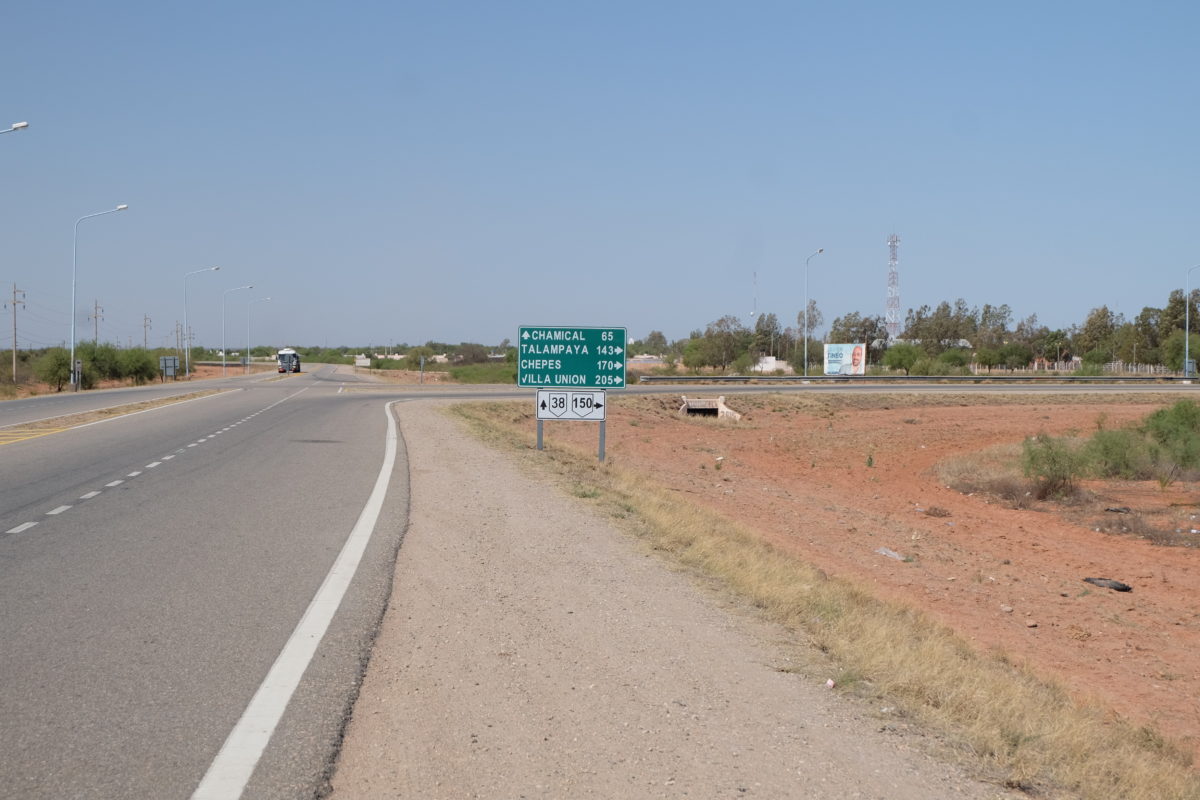
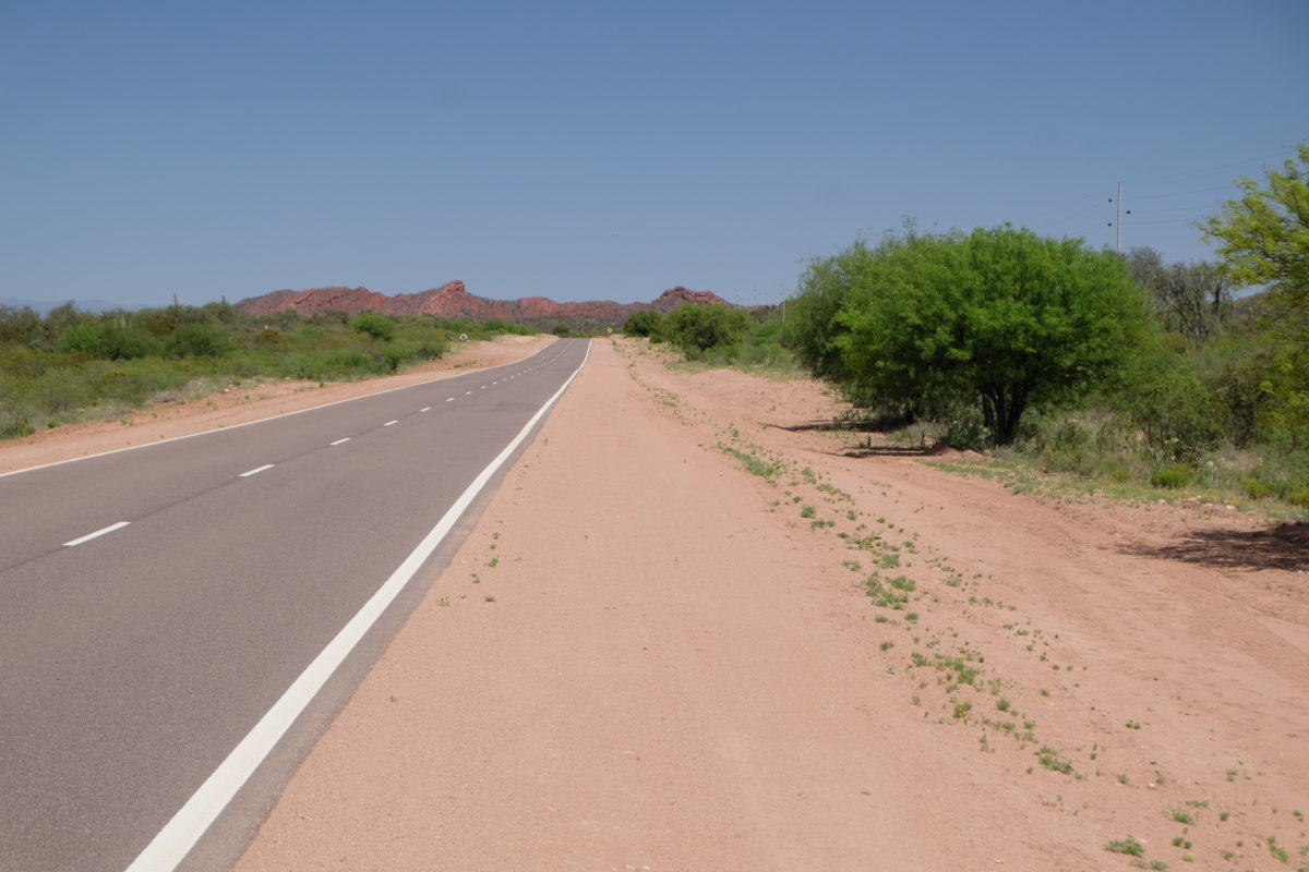
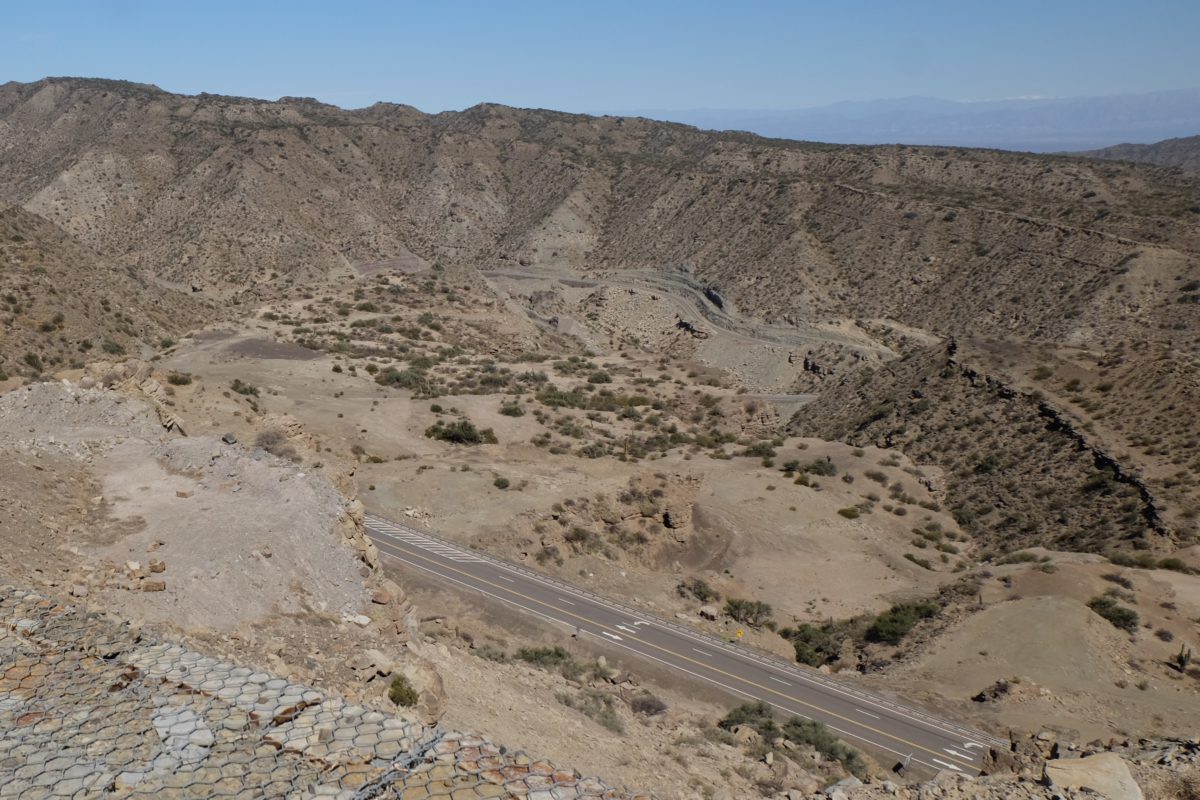
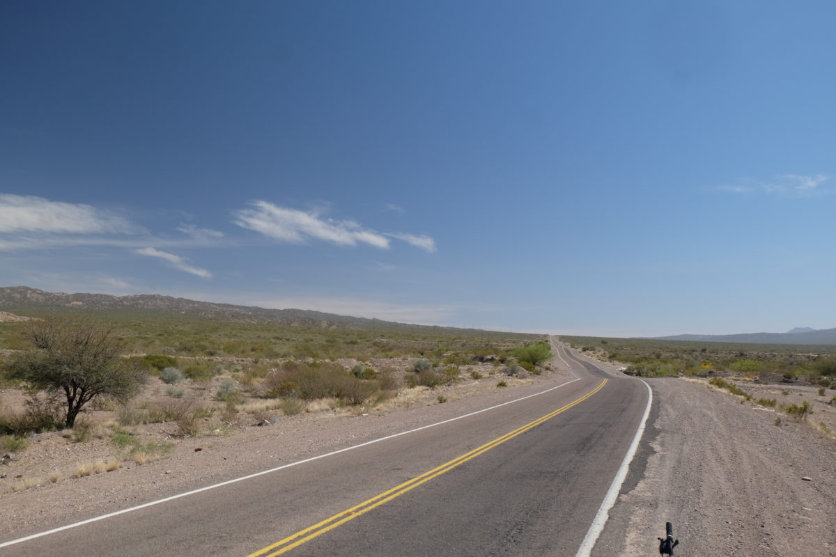
Thursday I started early again and the ride to Patquía was indeed easy. The road was straight and empty with the same trees beside it as the last few days. There were no villages the entire time, the only distraction was some construction work about halfway through. The sun was hiding behind some thin clouds much of the time, which I didn’t mind.
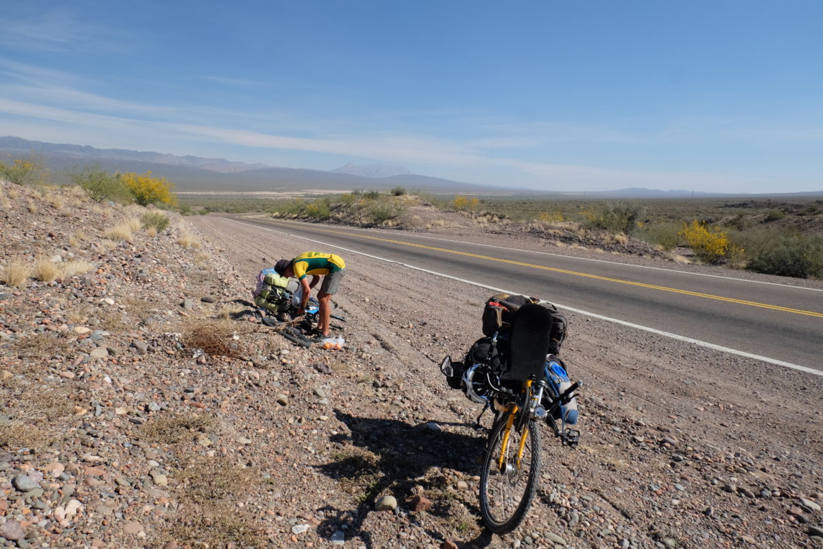
I got to Patquía at 11:30 and stopped at the only hotel. The door was open, but no one was there. The people sitting across the street told me to check at the restaurant or supermarket some 200 meters back. They all turned out to have the same owner, who told me a room would only be available at 2 o’clock. Thus I walked the town, took some pictures and had a long lunch at the restaurant. I was very tired for some reason, so I spent much of the afternoon resting in my room.
Interesting side note: An English translation of the song “Suzanne” by V.O.F. de Kunst is very popular here at the moment. And yes, that is the original.
Friday 20 October
That night I got ill and so I decided in the morning not to ride today. Tomorrow will also have much better weather to do this climb, so I’ll wait it out here. I spent all day in bed. I really miss my e-reader now, which broke back in La Paz.
Saturday 21 October
| Elapsed Time | Moving Time | Distance | Average Speed | Max Speed | Elevation Gain |
|---|---|---|---|---|---|
|
07:07:36
hours
|
05:59:16
hours
|
87.28
km
|
14.58
km/h
|
41.04
km/h
|
870.00
meters
|
Saturday I wasn’t entirely healthy, but I felt good enough to ride. I was happy to see that the weather was cloudy in the morning. Though I’m not badly burned anywhere, I feel that the sun might have played a role in my illness. The symptoms were similar to the time I got ill in Sajama.
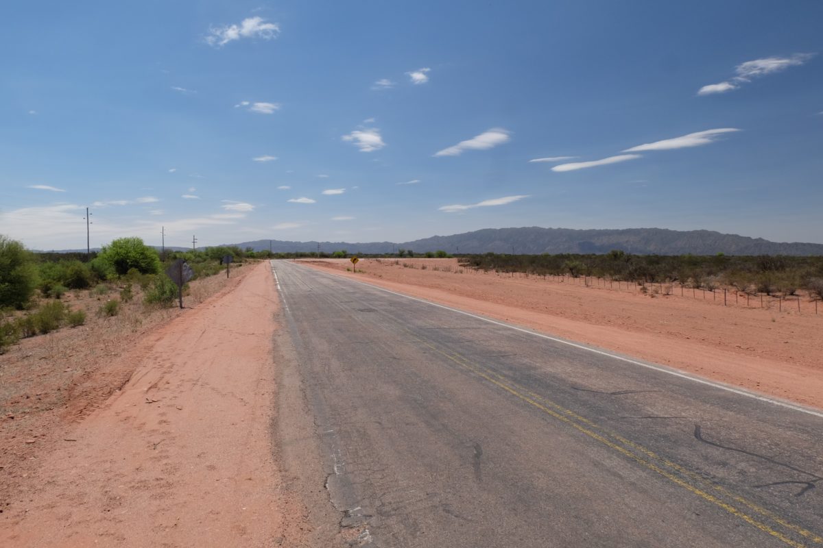
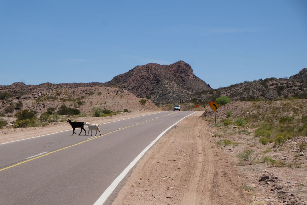
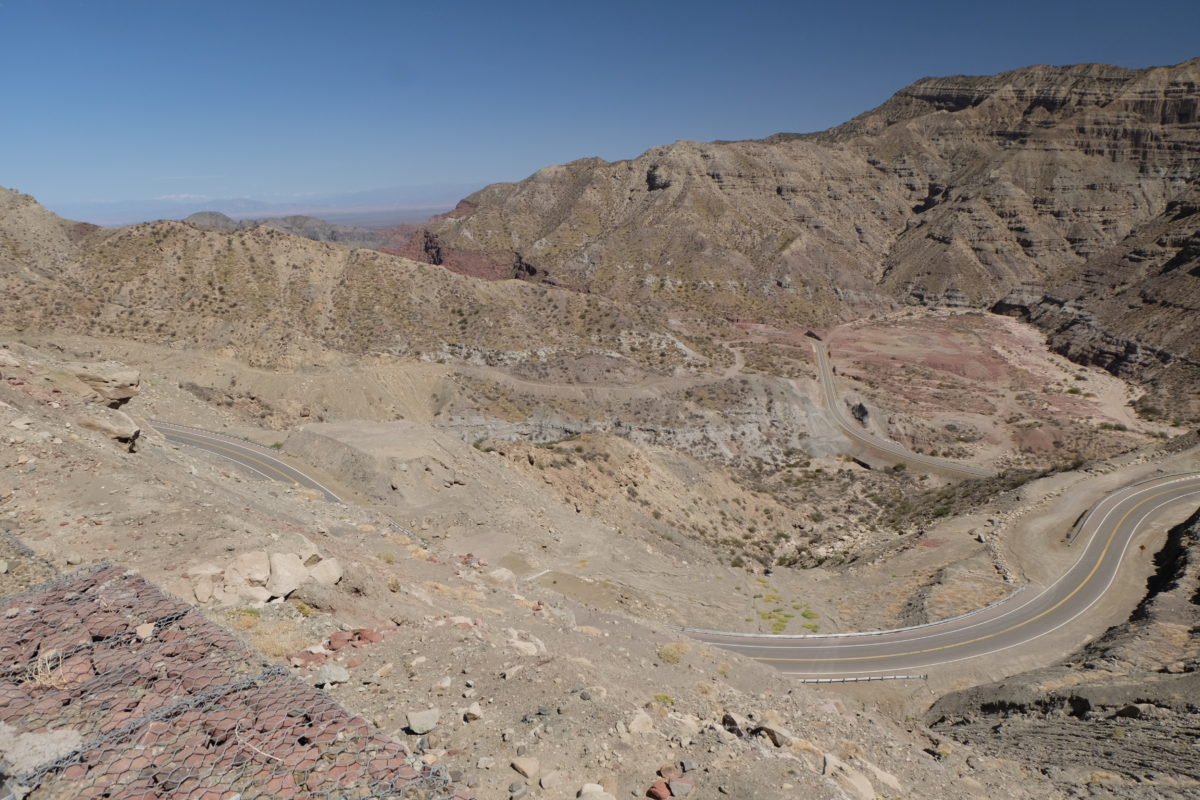
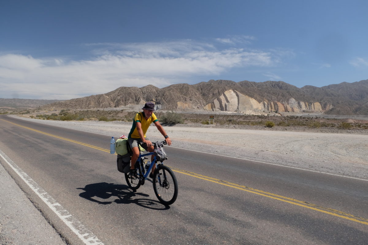
Today’s ride was a long and gradual climb. I’m approaching a 1600-meter high pass, but the climb is over 100 km long, so the average grade is just 1%. It didn’t go too badly, considering the climb and my condition. The first 35 km were perfectly straight and steadily climbing. Then the road got a bit curvy and soon levelled out a bit and by now the sun had also come out. At some point a family stopped me again and this time they did not offer me (useful or useless) information, but cold water and a sandwich. Often there is at least one mechanic, bike or otherwise, among these groups and thus they were very interested in the bike.
The simple ham and cheese sandwich did not go down very well. In general I’ve been careful to eat smaller amounts a bit more often.
5 km past this point my map showed a cafe, but in reality it was a simple shop. And though the painting advertising drinks was still on the front wall, it had closed. Tough luck and now I was extra happy about the stop just before. I managed to get some water from the girls in the house, but for anything else I’d have to go 10 more kilometers. There I succeeded, but I don’t really like the Coca Cola Company version of “grapefruit juice” I got there.
One somewhat tougher climb got me to my goal of Los Baldecitos. This is a tiny desert outpost, but OpenStreetMap lists two places to stay. I was looking at the sign announcing the first and thus didn’t notice the loose sand as I left the road, leaving my butt in the sand. The room is rather nice, though the internet isn’t working at the moment.
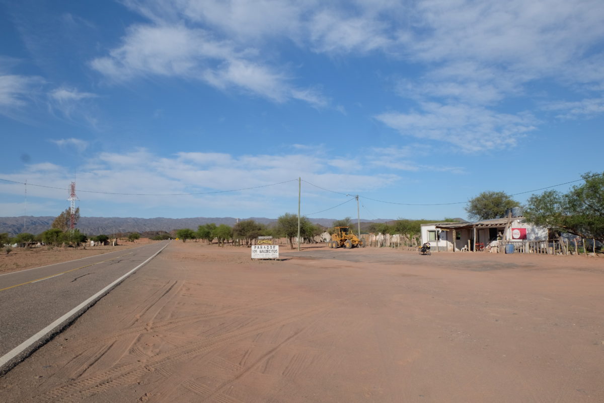
Dinner was served at a reasonable time for non-Argentinians: 20:00. After that, it was a clear, moonless night, I was in a tiny settlement in the middle of nowhere and at some altitude, so what does one do? Stargazing of course! This was my first good chance in South America and it was quite impressive, though I was still a bit too close to the lights of the village. I tried some astrophotography, but I think my camera isn’t really suitable for that, or I just need to practice more. Update: Or I should just use the right settings. ISO 400 isn’t going to get you very far, as I learned the hard way.
Sunday 22 October
| Elapsed Time | Moving Time | Distance | Average Speed | Max Speed | Elevation Gain |
|---|---|---|---|---|---|
|
05:59:36
hours
|
05:23:04
hours
|
103.75
km
|
19.27
km/h
|
83.52
km/h
|
612.00
meters
|
On Sunday I first had to finish the climb, which was again nice and gentle. The rolling plateau at the top was harder than the climb itself. At every intersection since leaving Ruta 38 the road got progressively quieter, so by now there was hardly any traffic. Also on the top I saw some members of the llama family, which I hadn’t seen since descending from the Altiplano.
Then came the descent on an interesting series of switchbacks and through some tunnels. The mountains surrounding the valley were impressive as well. When I left the mountains the descent continued for a bit on the plains before I rounded out the day with a short climb among the hills again.
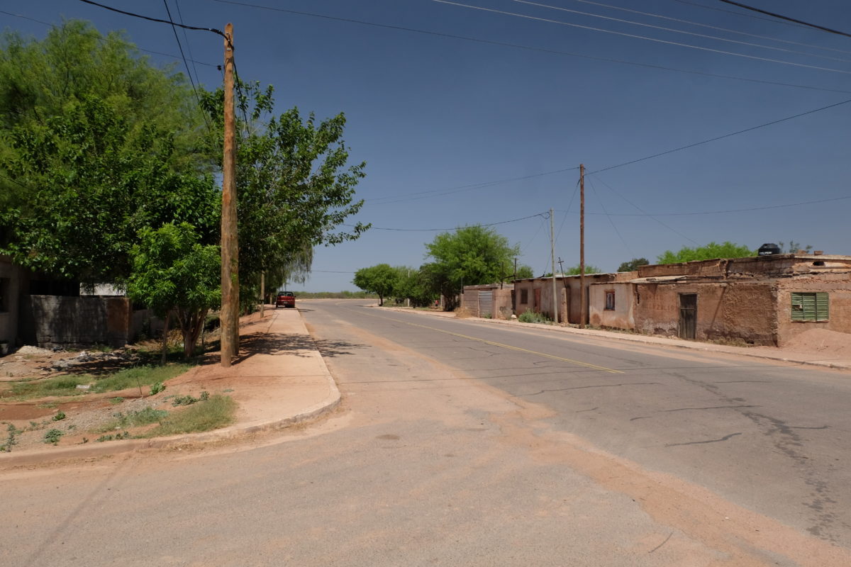
I’m now in Huaco, which is the first sign of civilisation since leaving Los Baldecitos 103 kilometers ago. On entering town I had to cross a river and this was the longest and deepest ford yet. At some point the road got slippery and the fast-flowing water almost got me, but I managed to stay upright. The hostel is quite large but no one else is here. There was also no food available nearby, so I just ate some bread and canned tuna in “tomato sauce” (after uncanning it) in my room.
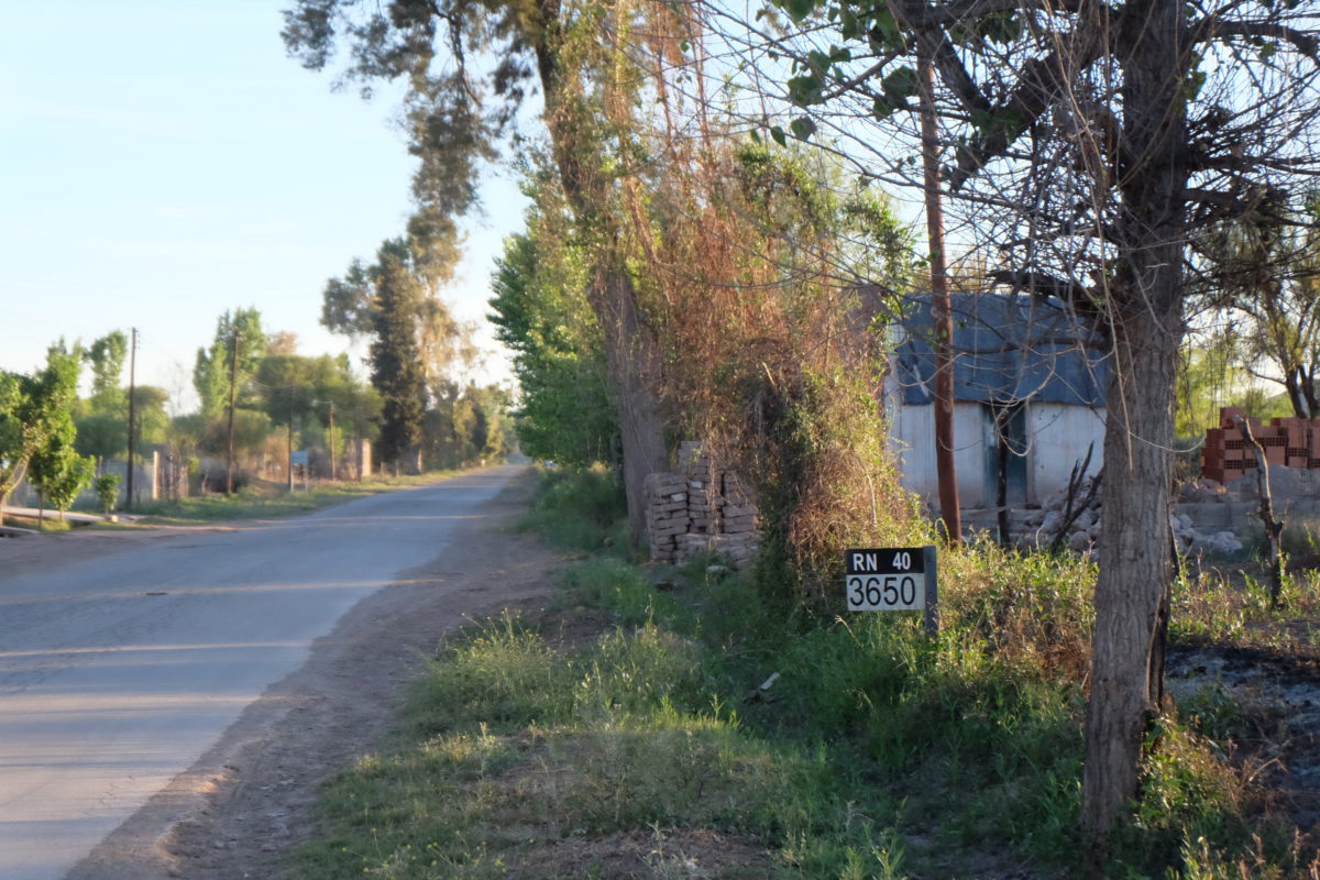
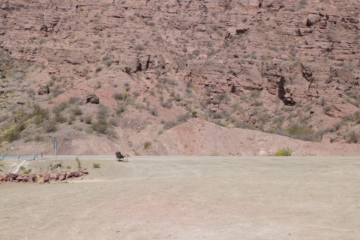
Tomorrow I start south on Ruta Nacional 40, or Ruta Cuarenta as it’s usually called. This is where the title of this post comes in. I was joking about Ruta 66 before, but Argentina’s real equivalent of Route 66 is Ruta 40. It runs over 5000 kilometers from the deep south to its northern endpoint in La Quiaca. On my first day I passed right over the intersection where Ruta 40 ends, but somehow didn’t notice that. Many adventurers travel at least part of its length, including most bike tourists.
So far I haven’t seen any others, except for a guy crossing the border to Bolivia while I was entering Argentina, but that may quickly change now. My current plan is to follow Ruta 40 for about 2000 km until I cross into Chile near Futaleufú.
Monday 23 October
| Elapsed Time | Moving Time | Distance | Average Speed | Max Speed | Elevation Gain |
|---|---|---|---|---|---|
|
07:55:08
hours
|
06:40:28
hours
|
134.82
km
|
20.20
km/h
|
42.84
km/h
|
394.00
meters
|
Monday started with a bit of climbing, but soon the road became flat and straight through a wide valley surrounded by mountains. I’m closer to the Andes now and so the mountains on my right are getting taller. There is no place to sleep on my map and so I’ll just go as far as I can and camp there.
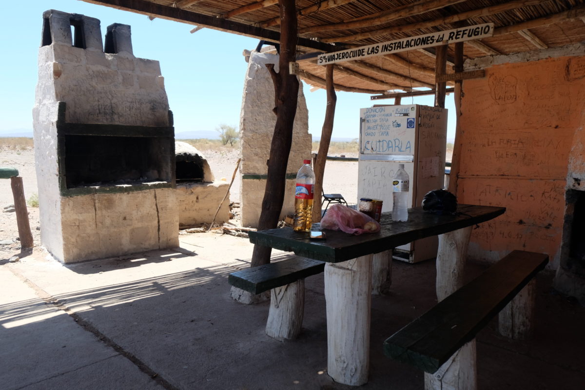
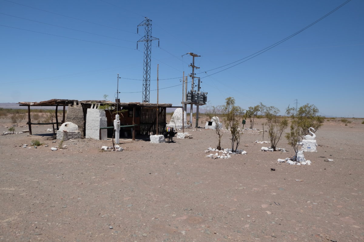
After 85 km there was suddenly a sort of shack by the roadside, with shade, a place to sit, places to grill your meat (it’s Argentina after all) and even power outlets and a working fridge stocked with food and drinks. I’m not sure how trustworthy the food is, but the water hadn’t been there for long judging by the dates on the bottles, so I took some. Thanks, anonymous heroes of Refugio Doña Mariana! It would also be a good place to camp, but it was still early and I wanted to get as much distance covered today as possible. As I was sitting there eating my bread and looking at the map again, I saw a potential place to stay in another 50 kilometers. It should be possible to get there today, so that’s what I’m aiming for now. It was good that this place existed, for otherwise there was no way to stock up on water out here. All that remained of the settlements on the map were a name and some abandoned buildings. The only inhabited place is a hotel/restaurant at the junction near Jachal and the quite large village of Niquivil pretty early on, though I don’t know what services are available there.
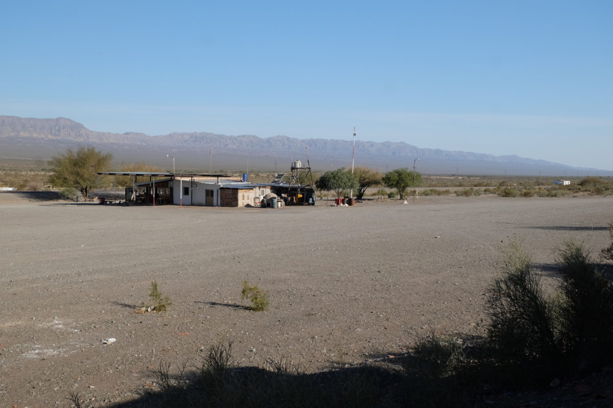
I got to my goal at 16:30 and it turned out to be a restaurant. My bets about Ruta 40 paid off, as there was a loaded bike parked in front. Inside was Cyrille Sangouard, a guy from France who has been touring on and off for the last three years. He doesn’t speak English and neither do I speak French, so we communicate in the limited Spanish we share. For the time being we’re headed in the same direction, so we might ride together for a few days.
His plan is to keep cycling until he is “old”, which in his book means 5 years from now when he turns 70. After that he might switch to motorbike touring. He also mentioned that he saw a Dutch couple on recumbent bikes the other day, but if I understood correctly they were going somewhere else.
I got some pasta which was very good, if a bit expensive, and then we got permission to set up our tents in an abandoned building behind the restaurant. And we’re not the first cyclists to sleep here recently, there were already bike tracks leading up to the house. So no bed, but we got food and are shielded from the wind. It could be worse.
Tuesday 24 October
| Elapsed Time | Moving Time | Distance | Average Speed | Max Speed | Elevation Gain |
|---|---|---|---|---|---|
|
05:07:48
hours
|
03:30:28
hours
|
59.06
km
|
16.84
km/h
|
44.28
km/h
|
221.00
meters
|
Monday’s big ride means that only 55 kilometers are left to San Juan. On Tuesday we started off well. After some 20 kilometers there was a relatively small but steep climb. About halfway up I was just thinking about taking a short break when Cyrille had a flat tire and thus we had to stop. He was pretty efficient about replacing it and soon we finished the climb. After that it was a long descent most of the way to San Juan. However, we had the strongest headwind I’ve seen so far. It didn’t slow us down too much, but it was very annoying to ride. I hope that will be gone tomorrow.
On the approach to the city a major road reconstruction was in progress, making the ride a bit less pleasant. The city itself seemed nice enough. We got a small lunch together, but Cyrille didn’t like the city much and decided to move on. I want to stay in the city tonight, so we parted ways. Maybe we’ll meet again tomorrow, when we’re both headed to Media Agua, or the day after towards Mendoza.
Distance covered: 459 km. Total so far: 1507 km.
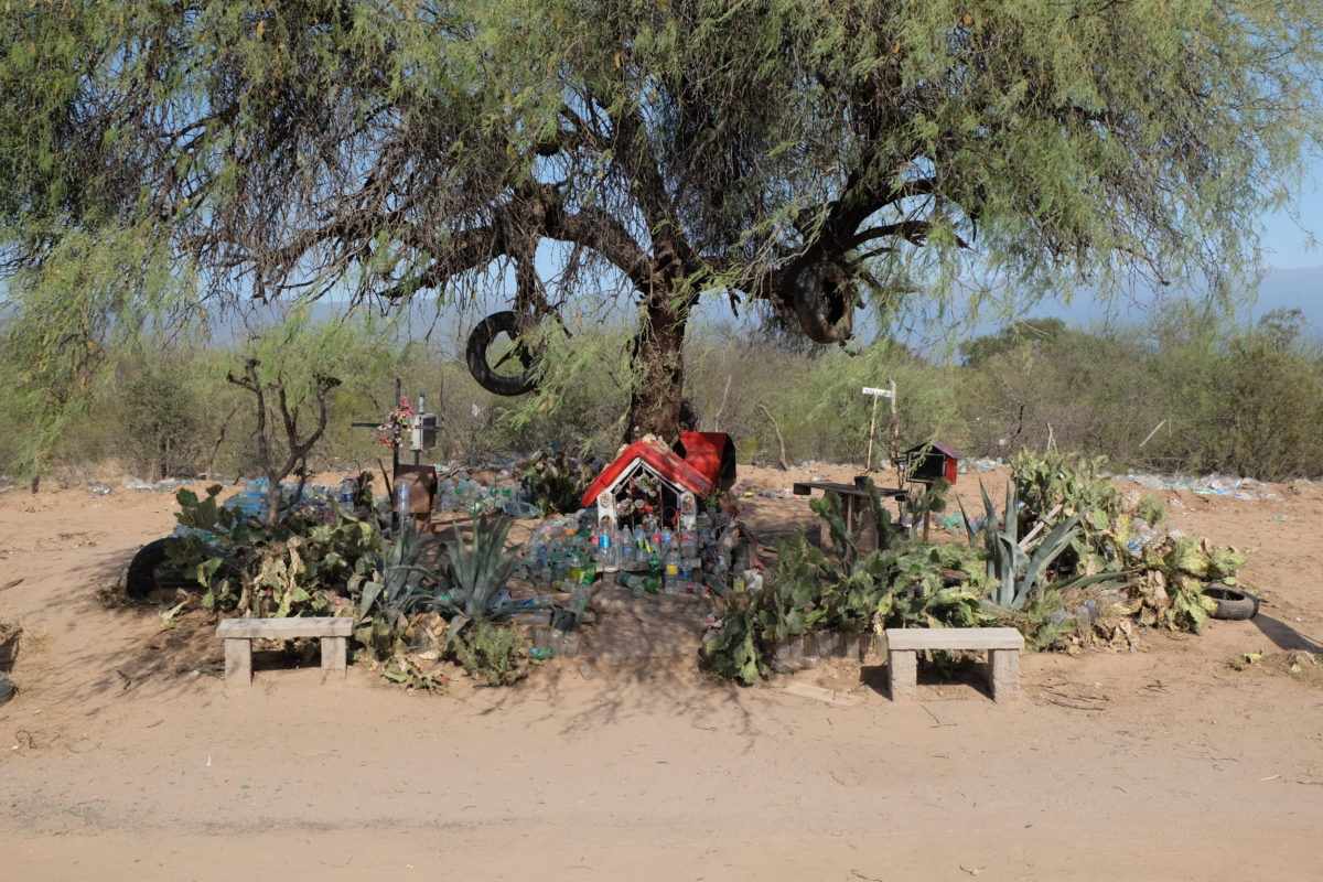
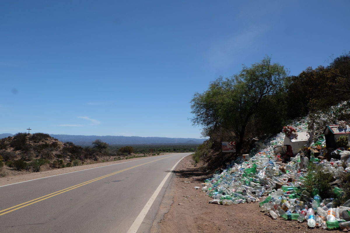
Bonus content: In the previous post I mentioned Difunta Correa and the mess they can become without photo evidence, so here it is:
Stef, alweer ein sjoean verhaol, mer ut is auch fijn desse noe get miëer fietsers trefs, det meuktj de reis dink ich, toch get aangenamer, al mosse mèt henj en veut kalle.
Stef… gein Frans kènne of te waers óm `t te kalle ???
Väör de rest sloet ich mich aan bie mam häör wäörd.
Ammesatie.